Navi4All
Open-Source-Navigations-App for pedestrians with mobility impairments, developed for the city of Kaiserslautern

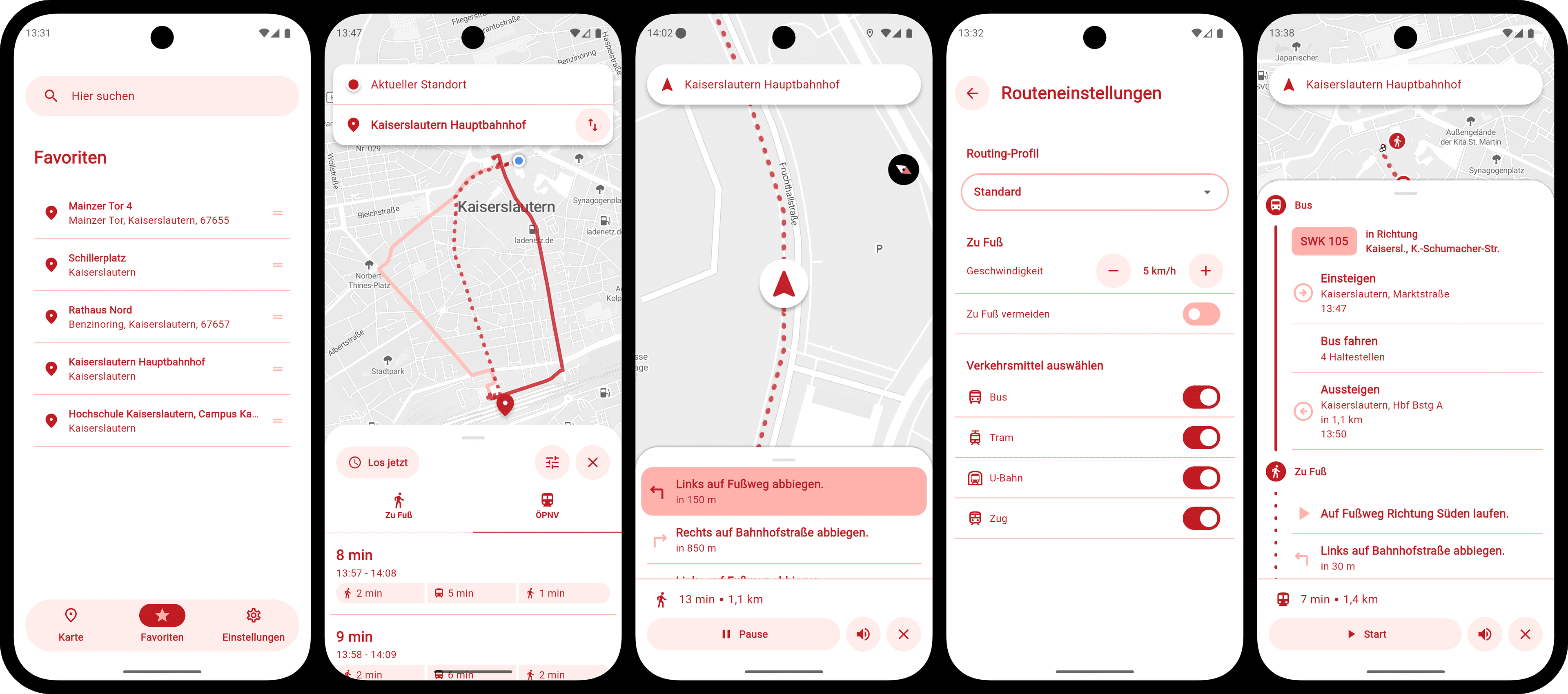
Navi4All is an open-source navigation app that provides barrier-free navigation for pedestrians with mobility impairments. Developed by Plan4Better GmbH on behalf of the city of Kaiserslautern, the app supports various user profiles — including blind, visually impaired, wheelchair users, walker and stroller users — and adapts both the routing logic and user interface accordingly. Navigation is provided through voice output, haptic vibration patterns, and a high-contrast UI mode (yellow on black). The app was developed using Flutter (iOS & Android), with the backend utilizing OpenTripPlanner for public transit and Valhalla for barrier-free pedestrian routing, while Pelias handles geocoding. The routing network is based on a custom, barrier-free enriched OpenStreetMap dataset. The code is multi-tenant and white-label capable, allowing it to be adapted for other cities with minimal configuration.
Software-Details
05/05/26
05/13/26
stable
0.02.0
AGPL-3.0-or-later
Last updated: